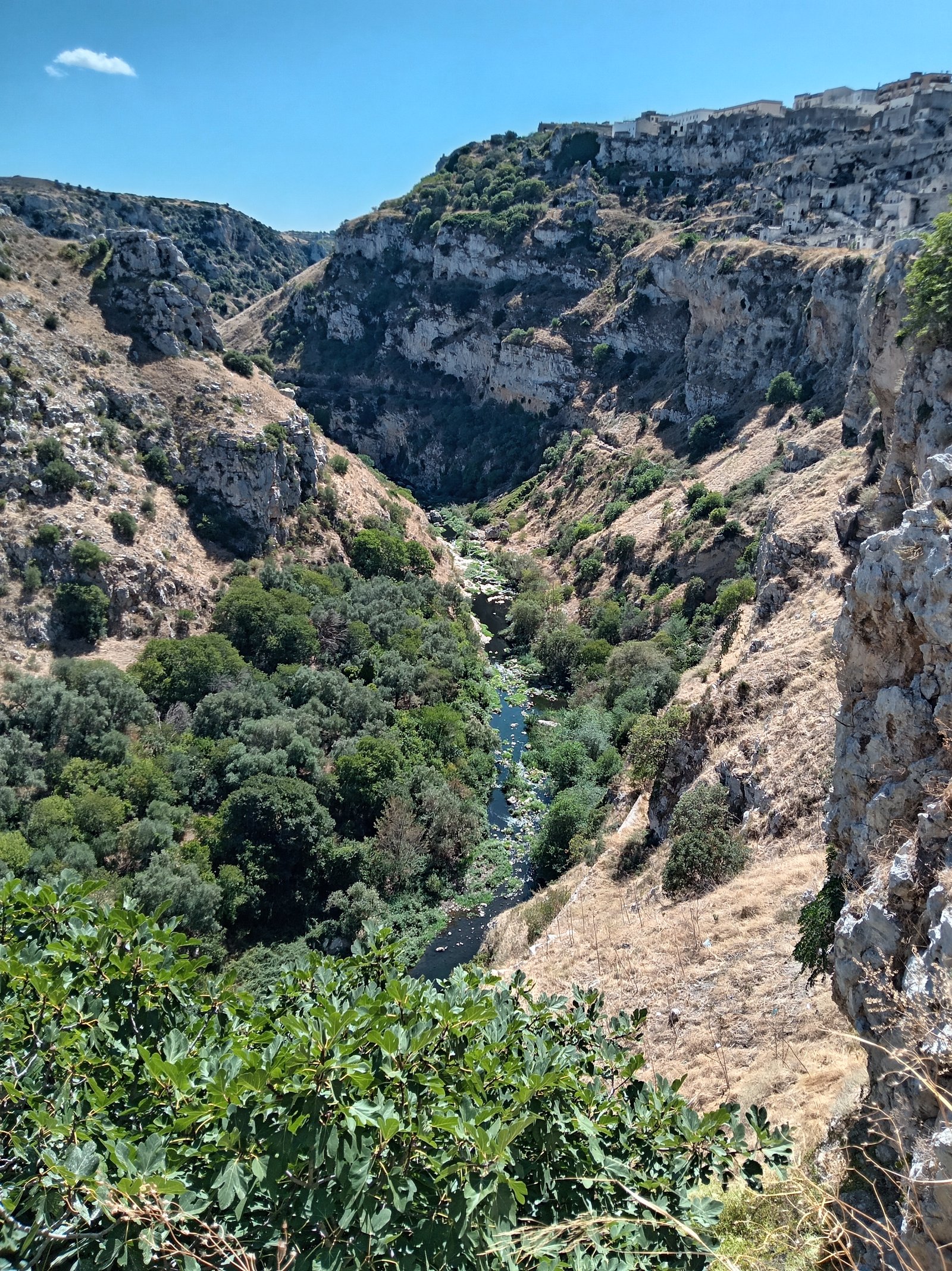
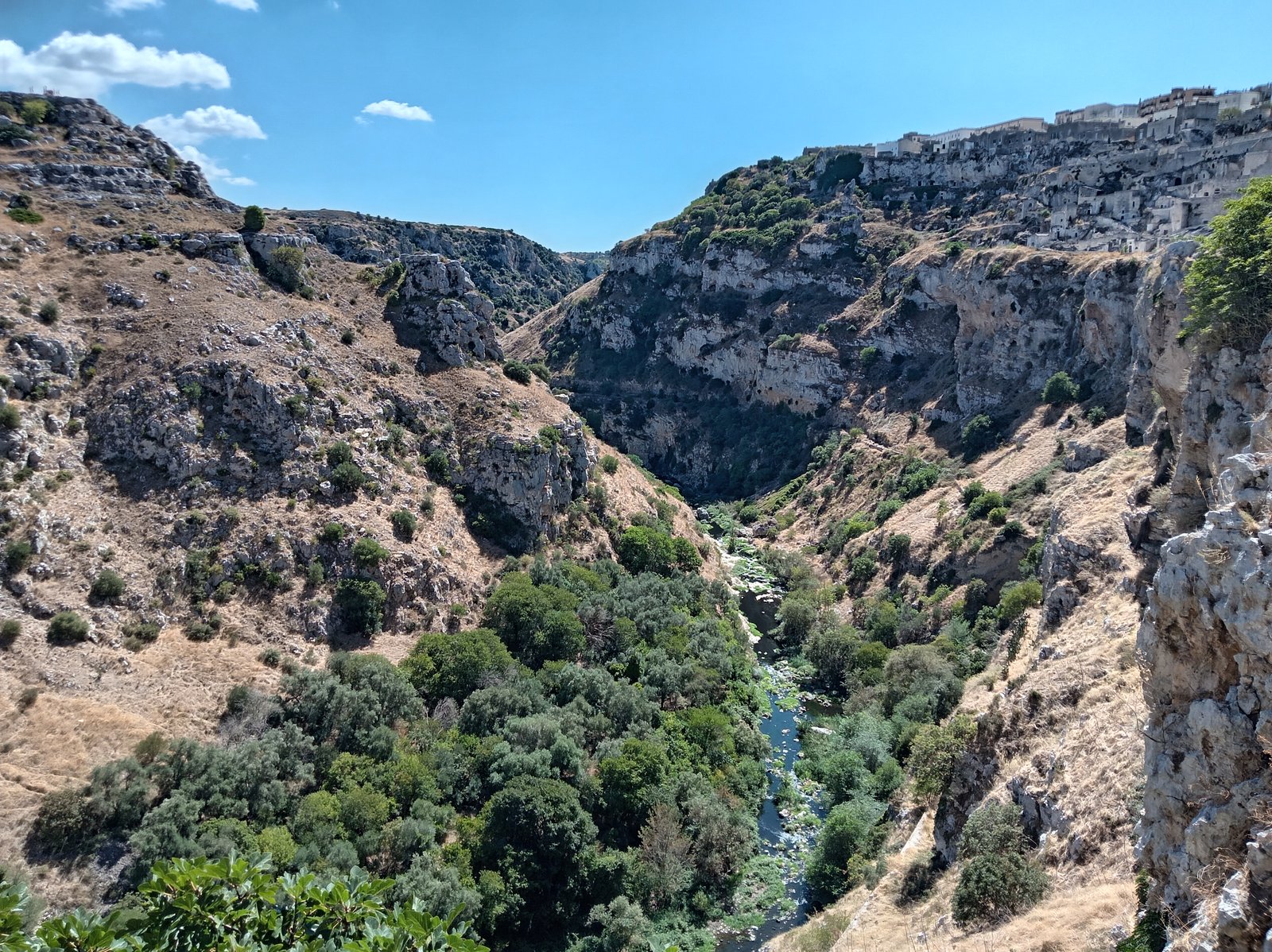
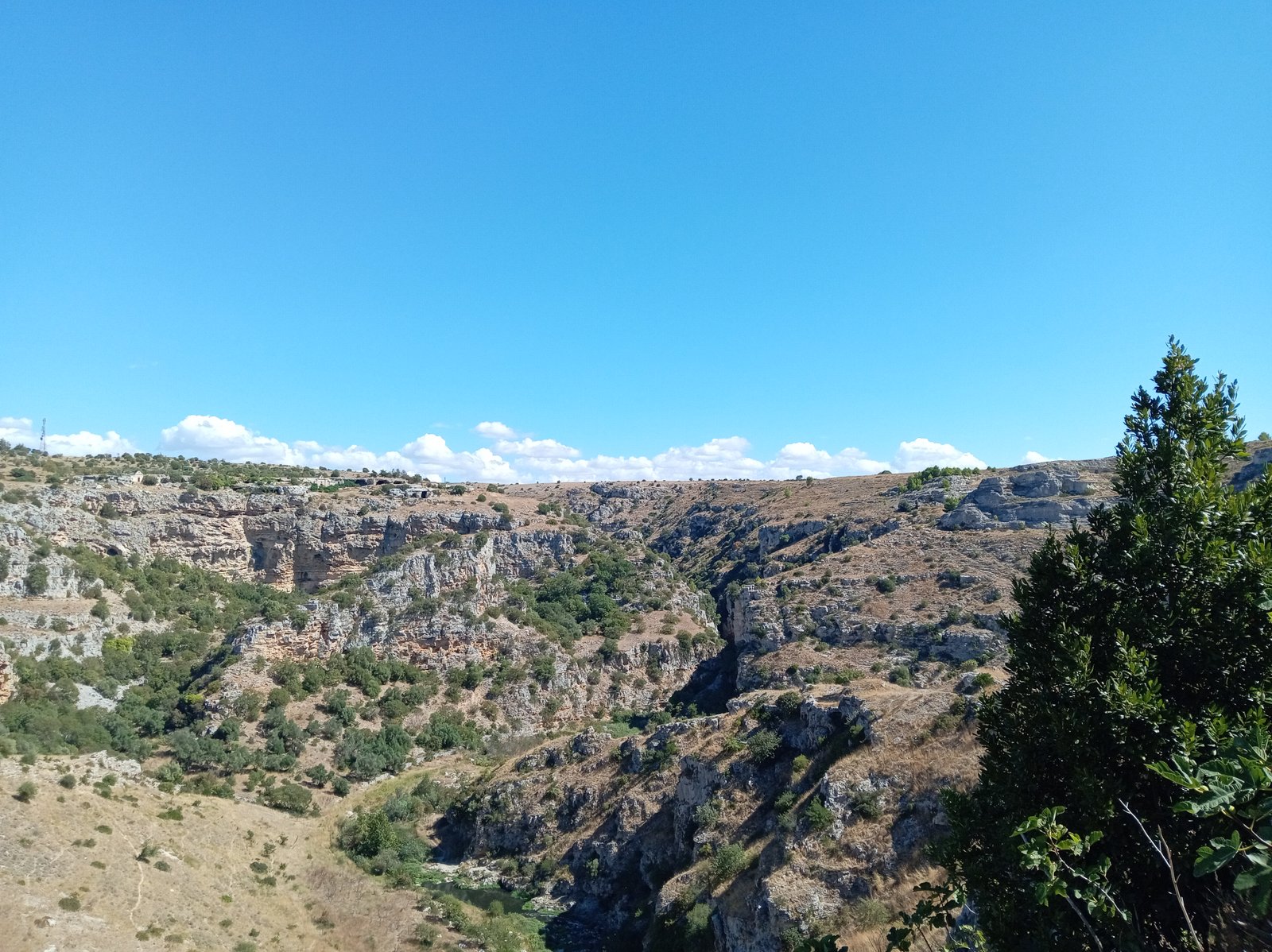
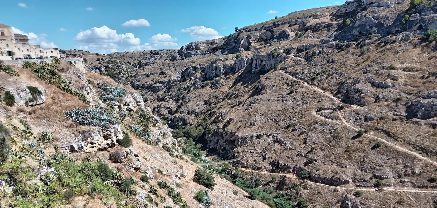
Karst plateau, deep gorge, rock churches scattered in the landscape: the regional park begins immediately behind the city and is UNESCO World Heritage together with the Sassi.
What the park covers
The Parco della Murgia Materana protects the landscape around the Gravina di Matera – a limestone plateau with dry vegetation, drystone walls, caves and more than a hundred rock churches. That city and park are listed together is not an administrative accident: both are the same phenomenon, once concentrated and once dispersed.
Paths
Marked trails link viewpoints, rock churches and the valley floor. Some sections are easy walks, others need a sure foot. The best-known route leads down from the city through the gorge, across a suspension bridge and up the other side to the Belvedere Murgia Timone.
The starting point on the park side is often Jazzo Gattini, a restored sheepfold that now serves as an information point.
Wildlife and plants
Birds of prey circle regularly above the gorge, using the updraught along the rock faces. In spring orchids flower between the stones and the otherwise grey plateau turns green for a few weeks. Spring is therefore the best time for longer walks, followed by autumn.
What to bring
Water, sun protection, sturdy shoes. There is practically no shade – no woods, hardly any trees, only low scrub. In high summer the hours around midday on the plateau are not merely uncomfortable but risky.
Safety
The edges are unsecured in many places and the rock is slippery in patches. With small children the walk to the nearby viewpoints is a better idea than the descent into the gorge. When wet, the limestone becomes slick; after rain, leave out the steep sections.
Read on
- Gravina di Matera – the gorge at the centre of the park
- Jazzo Gattini – the information point on the plateau
- Neolithic village Murgia Timone – settlement traces from the Stone Age
- Madonna delle Tre Porte – a rock church in the park